

how does one map an abomination of bike lanes running down the center of a two-way street?!
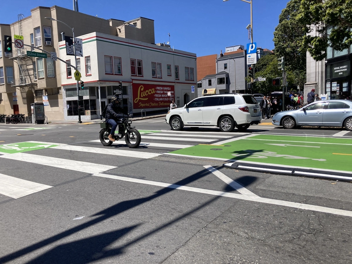
valencia st in san francisco is currently mapped as a two-way street with outer bike tracks, which used to be accurate. the city ripped those up and painted lanes in the middle; these barely deserve to be called tracks because cars can trivially cross into the bike lanes - there’s just a little rounded hump an inch or two high.
do we split the road into two one-way roads with bike tracks on the left side? besides being dishonest, as it’s a contiguous piece of asphalt with no median, i think we’d need a ton of new relationships to describe what turns can and can’t be done at every intersection.
or, morbidly, do we wait for enough cyclists to be killed that they put it back?